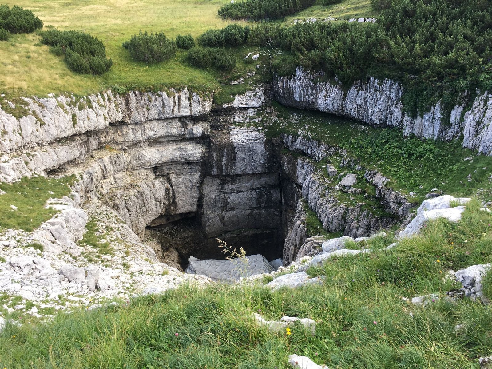
BOWLING GREEN – County planning commissions and state geological surveys across the limestone karst regions of the Interior Low Plateaus and Shenandoah Valley have enacted strict geotechnical land development codes, establishing mandatory 100-foot non-disturbance buffer zones around sinkholes and requiring fluorescent dye-tracer hydrogeologic studies prior to commercial subdivision platting.
Statutory Framework and Regulatory Context
- Statutory Factor: Clean Water Act Section 402 National Pollutant Discharge Elimination System municipal stormwater rules.
- Statutory Factor: State Department for Environmental Protection karst groundwater protection regulations.
- Statutory Factor: American Society of Civil Engineers (ASCE) Geotechnical Engineering in Karst guidelines.
- Statutory Factor: County Land Use and Subdivision Regulations governing sinkhole drainage and sensitive geological zones.
The Vulnerability of Karst Geomorphology and Subterranean Conduit Networks
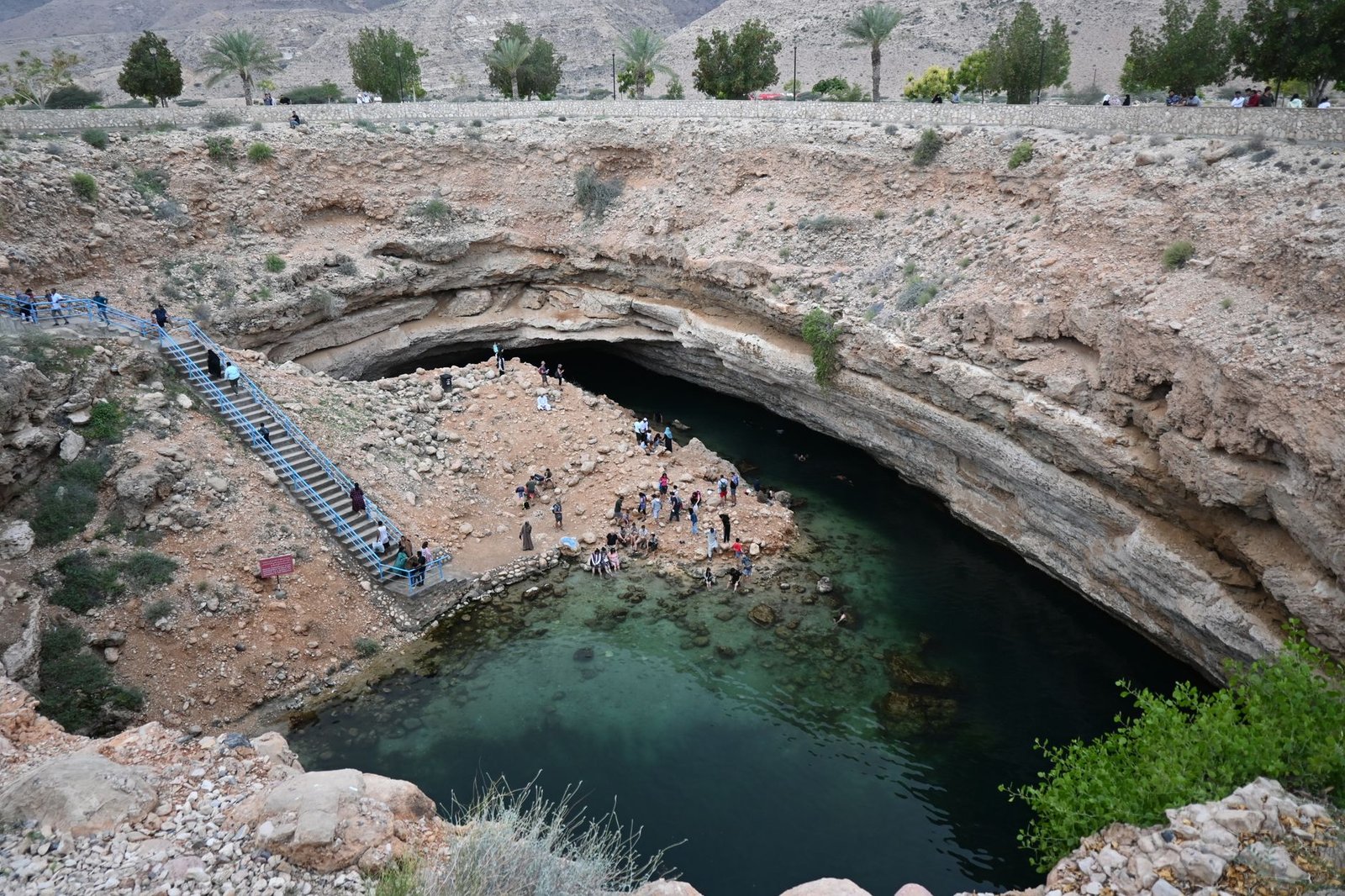
Unlike sandstone or alluvial aquifers where surface rainwater is naturally filtered through hundreds of feet of porous sand and soil before reaching the water table, karst geomorphology is characterized by soluble carbonate rocks (primarily limestone and dolomite) dissolved by acidic groundwater into an interconnected labyrinth of caves, subterranean rivers, vertical solution shafts, and surface sinkholes. In karst terrain, surface water does not filter slowly; it plunges directly into open sinkhole swallets and travels miles through subterranean conduits at velocities exceeding 1,000 feet per hour without any physical filtration.
When suburban shopping centers, parking lots, and residential subdivisions are constructed in karst terrain without specialized geotechnical controls, concentrated urban stormwater runoff carries toxic automotive motor oils, heavy metals, road salt, and lawn pesticides directly into municipal drinking water springs and sensitive subterranean cave ecosystems.
Furthermore, altering natural surface drainage patterns or concentrating stormwater in unlined detention ponds can trigger catastrophic sinkhole collapses, where the soil overburden bridging subterranean caverns suddenly gives way, swallowing roadways, commercial buildings, and utility mains into deep sinkhole craters.
Comparative Metrics and Fiscal Impact Analysis
The following quantitative dataset summarizes verified public records, capital expenditure benchmarks, and oversight agency audit dockets across regional jurisdictions:
| Karst Watershed Jurisdiction | Mandatory Sinkhole Buffer | Dye-Tracing Hydrogeology Requirement | Stormwater Basin Liner Rule | Subterranean Aquifer System |
|---|---|---|---|---|
| Warren County Karst Commission | 100-Foot Radial Buffer | Mandatory Multi-Point Dye Inject | Impermeable Composite Geomembrane | Mammoth Cave Aquifer Basin |
| Shenandoah Valley Karst Council | 150-Foot Setback Zone | Fluorescent Tracer Hydrology Study | Clay Cushion + Synthetic Liner | Opequon Creek Karst Springs |
| Edwards Aquifer Recharge Zone | Strict Non-Degradation | Continuous Geophysical Electrical Resistivity | Double-Lined Containment Vaults | Barton Springs Segment |
| Ozark Karst Management District | 120-Foot Geotechnical Ring | Hydrologic Travel-Time Profiling | Engineered Filtration Swales | Big Spring Drainage Basin |
Quantitative Fluorescent Dye-Tracing and Subsurface Conduit Mapping
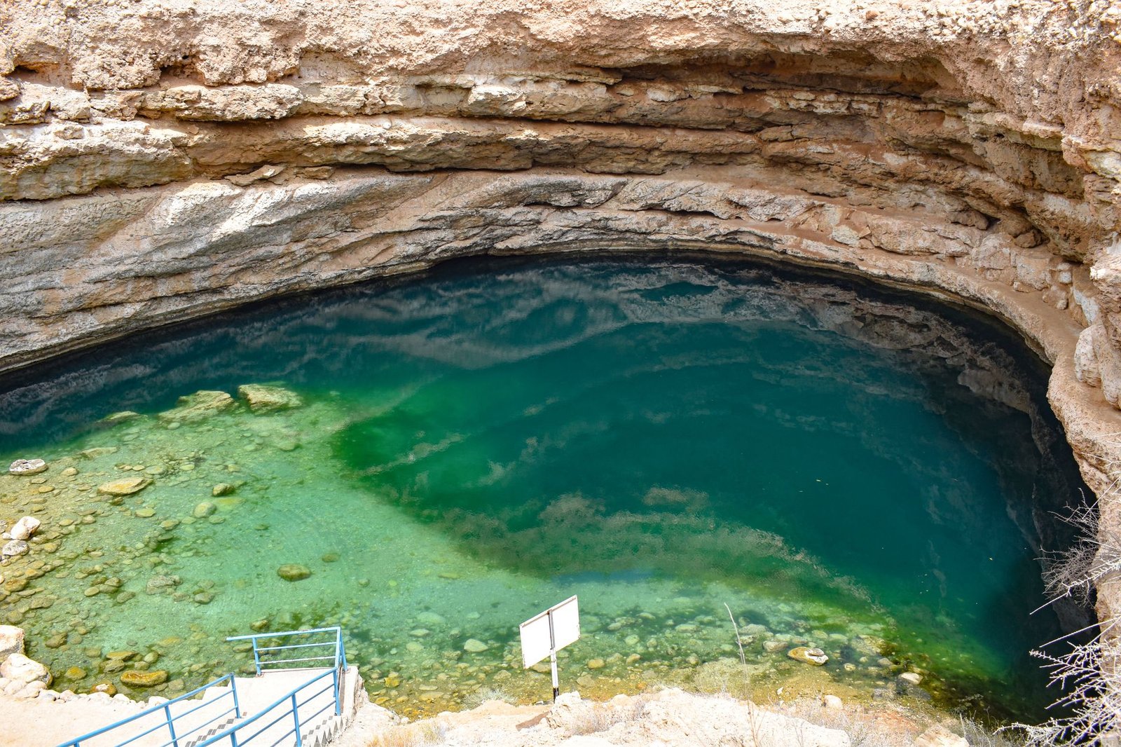
To accurately understand where surface stormwater travels once it enters the karst subsurface, modern geotechnical codes mandate quantitative fluorescent dye-tracer testing conducted by licensed professional hydrogeologists. Investigators inject non-toxic optical fluorescent dyes—such as Uranine (fluorescein), Rhodamine WT, and Eosine—into proposed development drainage points during rain events.
Downstream municipal drinking water wells, natural springs, and cave streams are outfitted with automated continuous filter fluorometers and activated carbon packets (‘bugs’) that capture dye molecules. By analyzing fluorescence emission spectrums, hydrogeologists determine the exact subterranean flow path, groundwater flow velocity, and dilution dispersion ratios across complex multi-basin drainage divides.
Development site plans must be realigned based on dye-tracing outcomes: if a proposed commercial development drains toward a municipal water supply spring or a protected subterranean aquatic habitat housing endangered cavefish or blind salamanders, commercial density is downzoned and hazardous commercial uses (such as gas stations and chemical warehouses) are strictly prohibited.
Engineered Sinkhole Buffers and Infiltration Basin Containment Liners
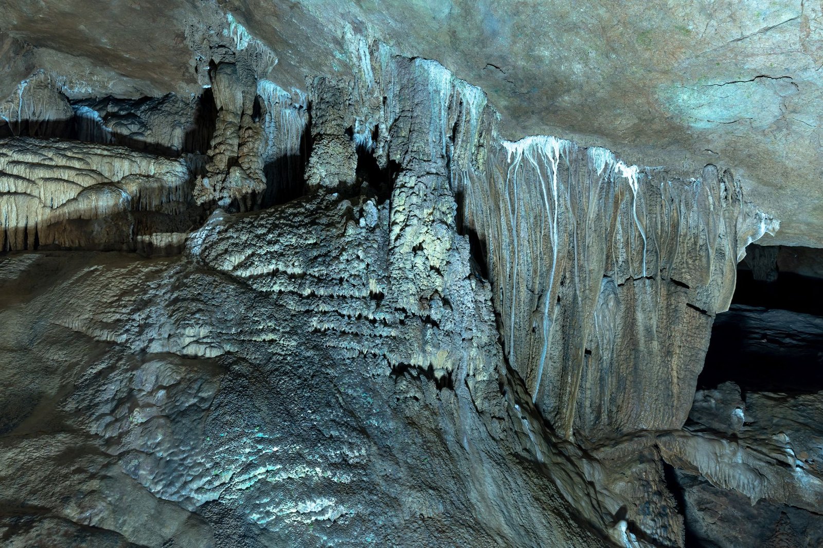
Municipal subdivision regulations mandate permanent 100-to-150-foot undisturbed natural vegetative buffer rings around the rim of all identified sinkholes. No grading, asphalt paving, structural construction, or septic drain fields are permitted within this protected buffer zone. Stormwater runoff from surrounding developments must be pre-treated through sand filters and vegetated bio-retention swales before being discharged across the buffer at non-erosive sheet-flow velocities.
Where detention ponds are required to control peak stormwater volumes, engineers must install dual-containment impermeable synthetic geomembranes underlain by compacted bentonite clay liners and geogrid reinforcement blankets. The impermeable liner completely prevents water from pooling in direct contact with soluble limestone bedrock, eliminating the localized hydraulic head pressures that historically triggered devastating sinkhole sink collapses beneath retention ponds.
State geological surveys and municipal planning boards emphasize that engineering with karst topography protects public safety, preserves subterranean biodiversity, and ensures clean drinking water for communities built upon limestone foundations.
Official Public Records and Statutory Citations
The documentary evidence and administrative filings referenced in this investigation are indexed under the following public record dockets:
- Kentucky Revised Statutes, Chapter 224 (Environmental Protection – Karst Groundwater Management Rules).
- Texas Administrative Code, Title 30, Chapter 213 (Edwards Aquifer Protection Rules).
- American Society of Civil Engineers, Standard Guideline for Geotechnical Engineering in Karst Terrains.
- United States Geological Survey, Circular 1222, Ground Water in Karst – Water Resources Assessment.
Independent Oversight Outlook
The enforcement of specialized karst stormwater regulations represents a crucial advancement in geotechnical environmental engineering. As urban growth expands across limestone regions through 2026 and 2027, rigorous dye-tracing and sinkhole buffering will ensure that surface communities develop safely without compromising subterranean freshwater networks.
Spotted an error? Read our corrections policy and let us know.
Keep reading
Urban Stream Daylighting Projects Remove Concrete Culverts to Restore Natural Fluvial Geomorphology

FEMA Hazard Mitigation Assistance Buyouts Transform Repetitive Loss Floodplains into Natural Greenways

Vadose Zone Suction Lysimeters and Groundwater Protection Plans Enacted for Confined Animal Feeding Operations