
DALLAS – The Federal Aviation Administration, in coordination with regional metropolitan transportation councils, has certified the nation’s first network of commercial Unmanned Aircraft Systems Traffic Management (UTM) low-altitude skyways, establishing automated digital separation standards for beyond-visual-line-of-sight cargo and medical delivery flights.
Statutory Framework and Regulatory Context
- Statutory Factor: Federal Aviation Administration 14 CFR Part 108 Beyond Visual Line of Sight regulations.
- Statutory Factor: FAA Reauthorization Act of 2024 unmanned aircraft systems integration directives.
- Statutory Factor: ASTM F3548 Standard Specification for UAS Traffic Management (UTM) UAS Service Supplier (USS) Interoperability.
- Statutory Factor: State Department of Transportation municipal vertiport zoning and low-altitude flyway covenants.
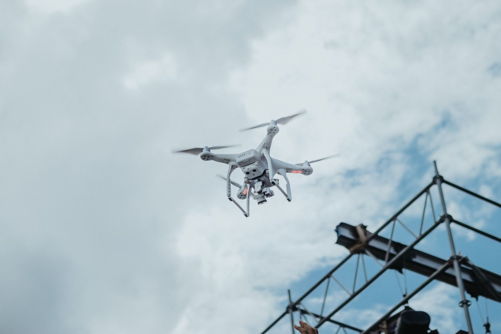
Automated 4D Trajectory Deconfliction and UAS Service Suppliers
Low-altitude airspace below 400 feet above ground level represents a uniquely challenging operational environment characterized by dense urban skyrises, cell towers, overhead high-voltage transmission lines, and unpredictable micro-scale thermal wind shear. Under the FAA’s UTM operational concept, traditional voice-radio air traffic control towers are replaced by decentralized, automated cloud networks operated by certified UAS Service Suppliers (USS).
Prior to takeoff, an autonomous commercial delivery drone transmits a 4D flight plan intent—specifying precise latitude, longitude, altitude, and timestamps for every waypoint along its route. The federated USS network runs automated strategic deconfliction algorithms across thousands of overlapping flight paths, calculating spatial separation bubbles and reserving dedicated temporal corridor slices before granting cryptographic flight authorization.
If an uncrewed vehicle encounters unexpected headwinds or mechanical thrust degradation that alters its speed profile, the USS dynamically recalculates trailing separation buffers, issuing automated speed adjustments to following aircraft via direct satellite or 5G cellular command links.
Comparative Metrics and Fiscal Impact Analysis
The following quantitative dataset summarizes verified public records, capital expenditure benchmarks, and oversight agency audit dockets across regional jurisdictions:
| Metropolitan Skyway | Altitude Corridor | USS Service Provider | Daily Flight Movements | Safety Separation Standard |
|---|---|---|---|---|
| Dallas-Fort Worth Metro Link | 200 to 400 Feet AGL | SkyGrid Federal UTM Bus | 1,850 Automated Sorties | Dynamic 4D Trajectory Bubble |
| Research Triangle Skyway | 150 to 350 Feet AGL | AirMap UAS Cloud | 1,200 Medical Flights | Cooperative C-V2X Separation |
| Cascadia Coastal Drone Trunk | 250 to 450 Feet AGL | ANRA Air Navigation Hub | 950 Maritime Courier Trips | Radar Micro-Beacon Interlock |
| Greater Columbus Cargo Route | 200 to 400 Feet AGL | OneSky Global Operations | 1,450 Logistics Sorties | Automated Geofence Shield |
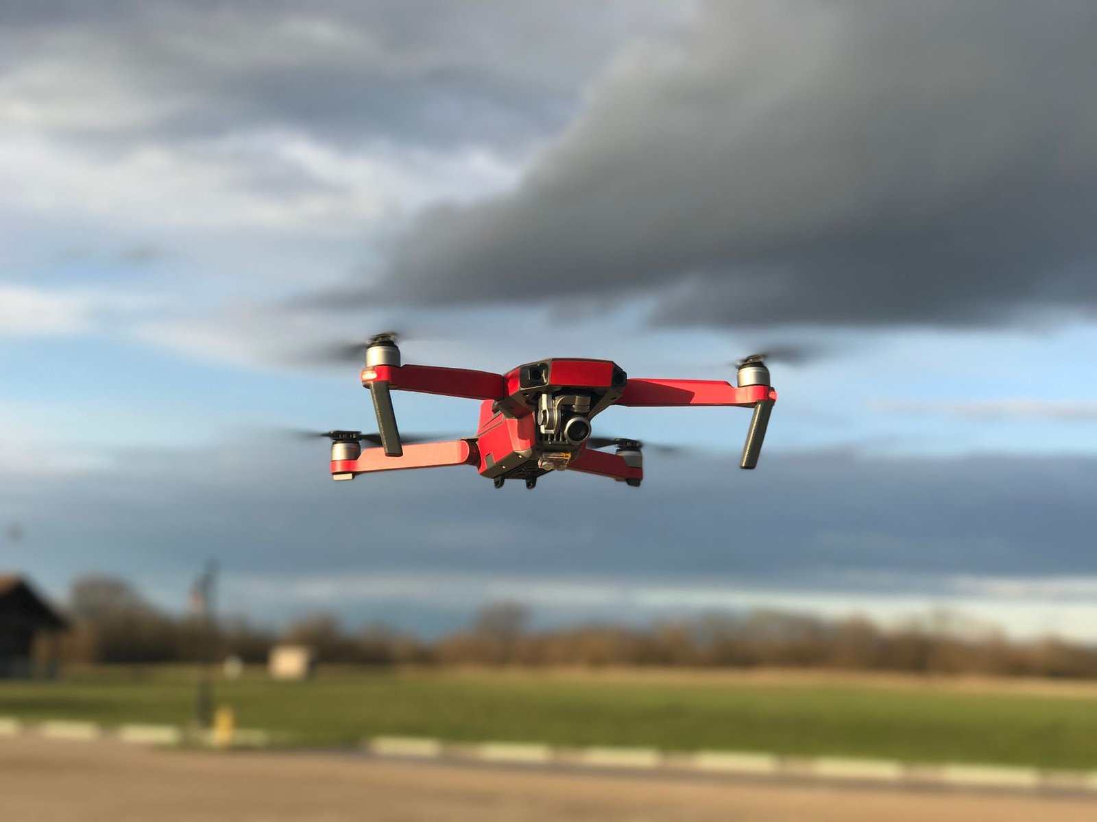
Detect-and-Avoid Sensor Integration and Cooperative Conspicuity
The primary barrier to scaling commercial drone operations has historically been the risk of mid-air collisions with non-cooperative, crewed general aviation aircraft, such as medical helicopters and agricultural crop-dusters that may operate without active ADS-B Out transponders. FAA Part 108 airworthiness standards require commercial delivery aircraft to carry certified onboard detect-and-avoid (DAA) sensor suites combining optical camera arrays, millimeter-wave radar, and acoustic microphones.
These onboard sensor packages continuously scan a 360-degree field of view, detecting approaching intruder aircraft at distances exceeding two nautical miles. Onboard collision avoidance software algorithms automatically determine whether the intruder represents a cooperative or non-cooperative target, executing autonomous right-of-way descending maneuvers well before closest-point-of-approach thresholds are breached.
Federal aviation inspectors verify that DAA response times operate entirely autonomously without relying on ground-station telemetry links, ensuring total collision avoidance capability even if terrestrial cellular connectivity is momentarily severed.

Municipal Land Use Covenants and Acoustic Footprint Noise Ordinances
While federal statutory authority maintains exclusive jurisdiction over sovereign American airspace, municipal governments retain constitutional police powers over local land use, building permits, and public health noise standards. City councils have enacted detailed zoning ordinances regulating the siting of automated drone distribution centers, battery-swapping vertiports, and ground delivery locker hubs.
Municipal noise ordinances enforce strict acoustic threshold caps, prohibiting drone operations that generate ground-level noise exceeding 55 decibels (dBA) in residential residential zones during evening hours. Drone manufacturers have responded by developing toroidal closed-loop propeller designs and slow-turning multi-rotor configurations that shift acoustic frequencies away from high-pitched human annoyance bands.
Public health studies submitted to municipal environmental commissions confirm that transitioning small parcel deliveries from diesel delivery vans to electric drones reduces urban ground traffic congestion and nitrogen oxide emissions while maintaining neighborhood acoustic tranquility.
Official Public Records and Statutory Citations
The documentary evidence and administrative filings referenced in this investigation are indexed under the following public record dockets:
- Federal Aviation Administration, 14 CFR Part 108 (Beyond Visual Line of Sight Flight Operations).
- Public Law 118-63, FAA Reauthorization Act of 2024, Title IX (Aviation Safety and Innovation).
- ASTM International, ASTM F3548-21, Standard Specification for UAS Traffic Management (UTM) UAS Service Supplier (USS) Interoperability.
- Texas Transportation Code, Chapter 372 (Advanced Air Mobility and Drone Facility Regulations).
Independent Oversight Outlook
The formal certification of low-altitude unmanned aircraft traffic corridors establishes the regulatory infrastructure necessary for mass-scale commercial drone logistics. As regional skyways expand across interstate metropolitan corridors throughout 2026 and 2027, automated drone transport will revolutionize on-demand medical deliveries and suburban supply chains.
Spotted an error? Read our corrections policy and let us know.

Keep reading
NIST Finalizes 2026 Post-Quantum Cryptographic Standards for Interstate Energy and Financial Telemetry Networks

Pennsylvania Public Utility Commission Enacts 2026 Grid Reliability Mandates for High-Voltage Transmission
Advanced Air Mobility Regional Vertiport Megawatt Grid Interconnection Protocols Certified