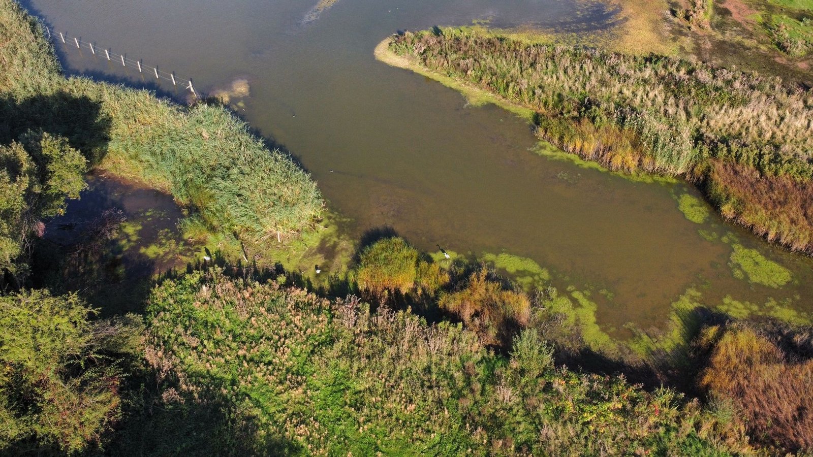
NEW ORLEANS – The Coastal Protection and Restoration Authority of Louisiana, in partnership with the United States Army Corps of Engineers, has operationalized the world’s largest controlled river sediment diversion complex, opening multi-gated concrete intake sluices on the lower Mississippi River to discharge river silt and reconnect deltaic hydrology.
Statutory Framework and Regulatory Context
- Statutory Factor: Clean Water Act Section 404 and Rivers and Harbors Act Section 10 permits under the Army Corps of Engineers.
- Statutory Factor: Deepwater Horizon Natural Resource Damage Assessment (NRDA) Consent Decree funding allocations.
- Statutory Factor: Magnuson-Stevens Fishery Conservation and Management Act essential fish habitat consultations.
- Statutory Factor: National Environmental Policy Act (NEPA) Final Environmental Impact Statement authorizations.
Reconnecting Deltaic Riverine Hydraulics and Fluvial Sediment Capture
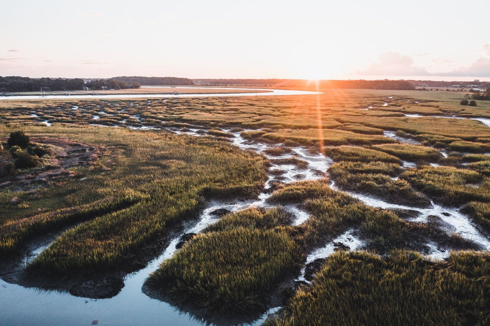
For millennia, the Mississippi River built thousands of square miles of fertile deltaic wetlands across coastal Louisiana through seasonal spring flood overtopping and meandering avulsion cycles. When the federal government constructed massive continuous earthen levee systems following the Great Mississippi Flood of 1927, it severed the river from its coastal wetlands. Deprived of annual mineral sediment nourishment and freshwater replenishment, over 2,000 square miles of coastal marshes subsided into the Gulf of Mexico, leaving metropolitan New Orleans exposed to open ocean hurricane storm surges.
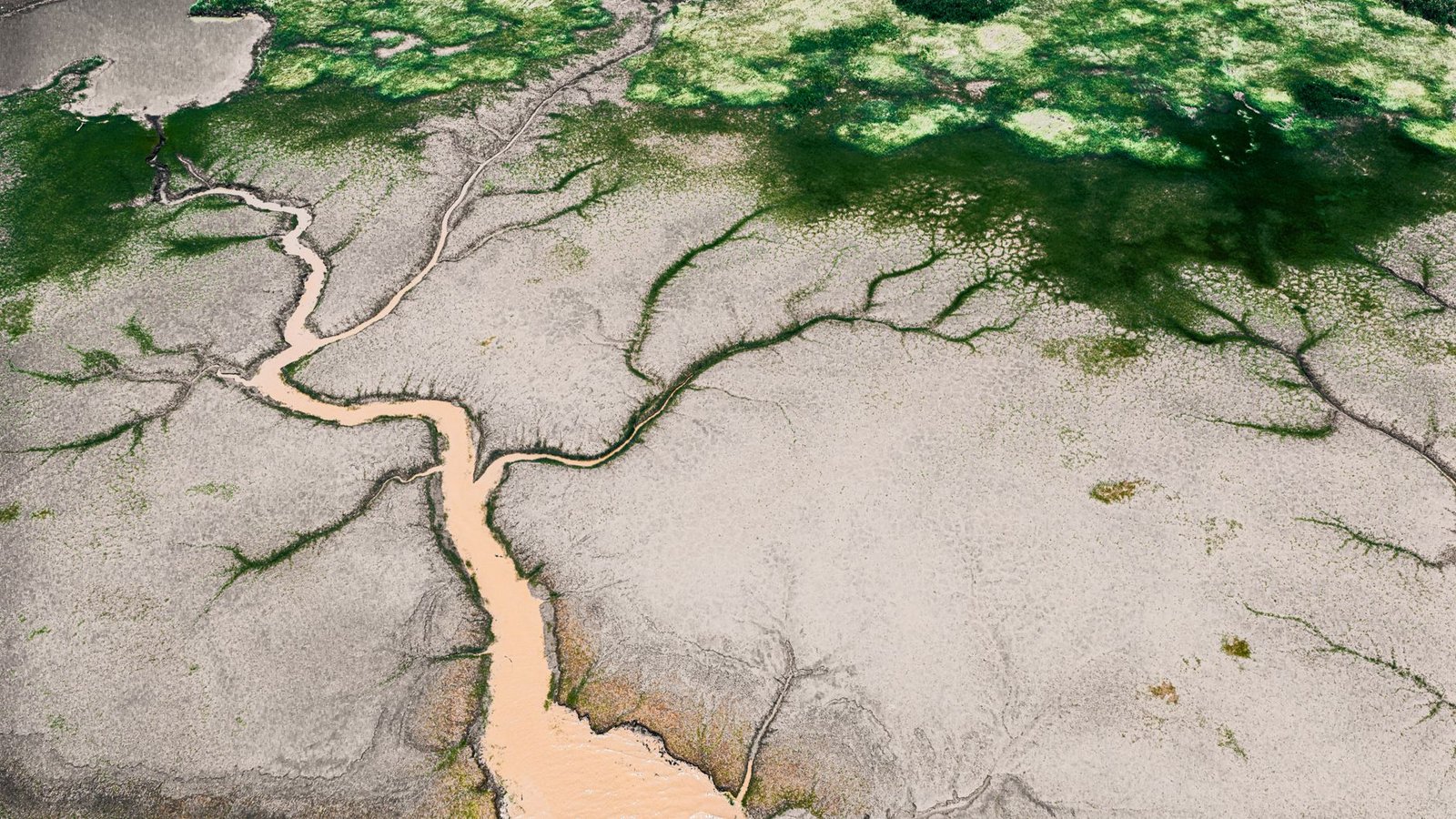
Modern sediment diversions restore natural fluvial processes through engineered control structures. The Mid-Barataria complex features a massive reinforced concrete intake structure cut through the Mississippi River levee, housing three 60-foot-wide vertical lift sluice gates. During seasonal high-river flood stages when the river carries high bedload concentrations of coarse sands and fine silts, the gates open, diverting up to 75,000 cubic feet per second of sediment-laden river water into an engineered conveyance channel.
Hydrodynamic modeling confirms that positioning the intake invert near the bed of the river captures the densest sand fractions, channeling 1.5 million tons of land-building sediment annually into shallow receiving bays, where natural vegetation traps the silt to accrete emergent land above sea level.
Comparative Metrics and Fiscal Impact Analysis
The following quantitative dataset summarizes verified public records, capital expenditure benchmarks, and oversight agency audit dockets across regional jurisdictions:
| Sediment Diversion Project | Max Discharge Capacity | Target Basin Receiving | Projected Land Building | NRDA Restoration Funding |
|---|---|---|---|---|
| Mid-Barataria Sediment Diversion | 75,000 Cubic Feet / Second | Barataria Basin Estuary | 21,000 Acres Marsh Built | $2.92 Billion NRDA |
| Mid-Breton Sediment Diversion | 35,000 Cubic Feet / Second | Breton Sound Estuary | 14,500 Acres Marsh Created | $1.45 Billion NRDA |
| Atchafalaya Delta Flow Control | 50,000 Cubic Feet / Second | Wax Lake Outlet Corridor | 18,000 Acres Natural Accretion | $820 Million State Fund |
| Calcasieu Ship Channel Barrier | Controlled Sluice Gate Bus | Sabine-Neches Basin | 8,200 Acres Salinity Shield | $640 Million Federal Grant |
Salinity Gradients, Fisheries Adaptation, and Commercial Seafood Transitions
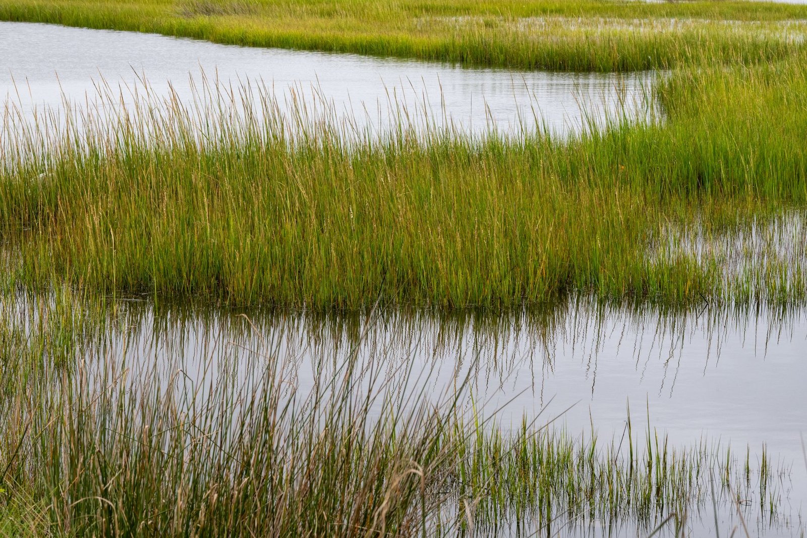
While sediment diversions are essential for long-term delta survival, discharging immense volumes of fresh river water into saline estuarine basins creates profound ecological shifts for commercial fisheries. The sudden influx of freshwater shifts salinity gradients outward toward the Gulf, displacing high-salinity marine species like brown shrimp, oysters, and bottlenose dolphins that colonized deteriorated marshes over recent decades.
Commercial oystermen and inshore shrimpers mounted intense administrative and legal opposition, warning that freshwater diversions would destroy historic public oyster seed grounds and decimate family-owned commercial seafood businesses that anchored bayou cultural heritage. To address these impacts, the state’s restoration authority established unprecedented $350 million fisheries mitigation and transition programs.
The state funds modern off-bottom oyster aquaculture cages in higher-salinity offshore waters, compensates commercial oyster leaseholders, and assists commercial shrimpers in outfitting vessels with specialized gear and advanced navigation telemetry to access shifting commercial harvesting zones.
Natural Hurricane Storm Surge Buffers and Community Protection
The strategic justification for multi-billion-dollar sediment diversions is the absolute preservation of human civilization along the northern Gulf Coast. Coastal engineers emphasize that artificial concrete sea walls and earthen hurricane levees cannot survive alone against escalating hurricane intensities and sea-level rise; they must be fronted by miles of healthy deltaic salt marshes.
Every mile of continuous emergent coastal wetland dissipates hurricane storm surge wave heights by up to one foot, absorbing immense kinetic wave energy before ocean surges can slam into suburban levee perimeters. Furthermore, newly accreted marshes sequester millions of metric tons of organic blue carbon within dense subterranean root mats, providing long-term soil shear strength that resists hurricane erosion.
Coastal geologists and federal emergency managers conclude that controlled sediment diversions are the only nature-based engineering intervention capable of building sustainable coastal land at landscape scales, securing coastal communities for the next century.
Official Public Records and Statutory Citations
The documentary evidence and administrative filings referenced in this investigation are indexed under the following public record dockets:
- United States Army Corps of Engineers, Record of Decision for the Mid-Barataria Sediment Diversion (December 2022).
- Clean Water Act, 33 U.S.C. 1344 (Permits for Dredged or Fill Material).
- Louisiana Revised Statutes, Title 49, Section 214.1 et seq. (State Coastal Resources Management Act).
- Deepwater Horizon Natural Resource Damage Assessment Trustees, Final Strategic Restoration Plan.
Independent Oversight Outlook
Large-scale sediment diversions represent a revolutionary paradigm shift from defensive flood control toward restorative environmental engineering. As diverted sediments accumulate into emergent deltaic land across 2026 and 2027, Louisiana’s living coast will demonstrate how humanity can work alongside river hydraulics to rebuild threatened landscapes.
Spotted an error? Read our corrections policy and let us know.
Keep reading
Urban Stream Daylighting Projects Remove Concrete Culverts to Restore Natural Fluvial Geomorphology
FEMA Hazard Mitigation Assistance Buyouts Transform Repetitive Loss Floodplains into Natural Greenways
Vadose Zone Suction Lysimeters and Groundwater Protection Plans Enacted for Confined Animal Feeding Operations