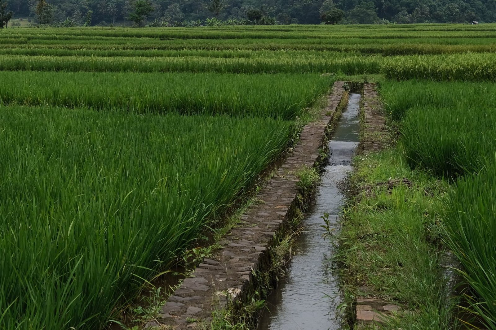
FRESNO – Groundwater sustainability agencies and regional irrigation districts across the agricultural valleys of the West have operationalized large-scale Managed Aquifer Recharge (MAR) networks, capturing unallocated winter flood flows and routing water into deep infiltration basins and dedicated agricultural recharge fields to reverse catastrophic groundwater overdraft.
Statutory Framework and Regulatory Context
- Statutory Factor: Sustainable Groundwater Management Act (SGMA) groundwater sustainability plan compliance.
- Statutory Factor: State Water Resources Control Board temporary flood diversion water right permits.
- Statutory Factor: Clean Water Act nonpoint source runoff and nitrate leaching prevention guidelines.
- Statutory Factor: Bureau of Reclamation Central Valley Project conveyance wheeling agreements.
Hydro-Geologic Siting and Infiltration Basin Geophysics
Decades of intensive agricultural groundwater pumping across the Central Valley and High Plains aquifers severely overdrafted subterranean storage reserves, causing water tables to plummet by hundreds of feet and triggering irreversible land subsidence that buckled concrete aqueducts, cracked highway bridges, and collapsed pore spaces in deep clay aquitards. Under California’s Sustainable Groundwater Management Act (SGMA), groundwater basins must achieve verified hydrologic equilibrium by 2040 or face draconian state intervention and mandatory agricultural well shutoffs.
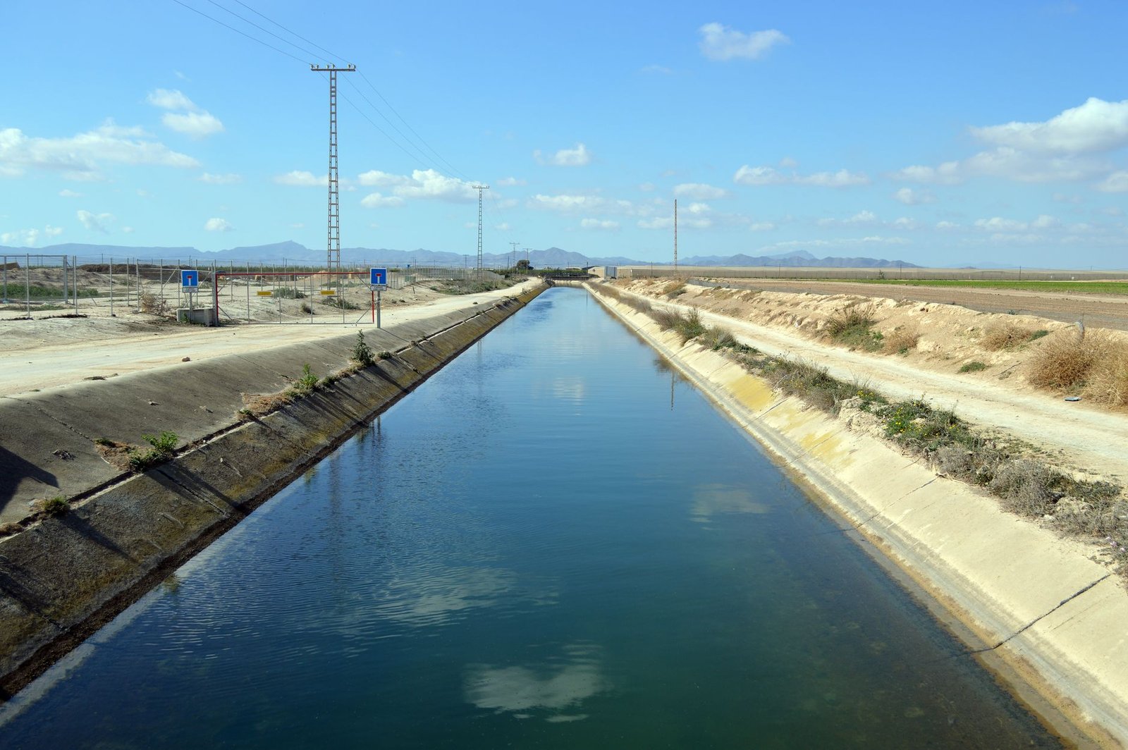
Managed Aquifer Recharge achieves replenishment by capturing high-volume, unallocated winter and spring flood flows from atmospheric river storms before runoff escapes into the Pacific Ocean. Hydro-geologists utilize airborne electromagnetic (AEM) geophysical surveys to map subsurface sedimentary architecture, identifying ancient paleochannels—interconnected subterranean gravel and coarse sand corridors deposited by glacial meltwaters thousands of years ago.
By excavating dedicated infiltration basins directly above these permeable paleochannels, recharge operators can infiltrate water at rates exceeding two feet per day, routing millions of gallons of surface water directly past impermeable clay layers into deep regional confined aquifers without mechanical injection pumps.
Comparative Metrics and Fiscal Impact Analysis
The following quantitative dataset summarizes verified public records, capital expenditure benchmarks, and oversight agency audit dockets across regional jurisdictions:
| Groundwater Subbasin | Dedicated Recharge Acreage | Peak Infiltration Rate | Seasonal Recharge Volume | Subsidence Mitigation Metric |
|---|---|---|---|---|
| Kings Basin Sustainability Agency | 3,400 Dedicated Acres | 1.2 Feet / Day Soil Percolation | 185,000 Acre-Feet Banked | Land Subsidence Halted |
| Kaweah Subbasin Irrigation Hub | 2,800 Engineered Basins | 1.5 Feet / Day Sandy Loam | 140,000 Acre-Feet Infiltrated | +14 Feet Water Table Rise |
| Tule River Groundwater District | 2,200 Dedicated Acres | 0.9 Feet / Day Alluvial Spread | 115,000 Acre-Feet Recharged | Canal Structural Settlement Fixed |
| Madera Subbasin Recharge Zone | 1,950 Farmland Acres | 1.1 Feet / Day On-Farm Flood | 95,000 Acre-Feet Replenished | Groundwater Decline Reversed |
On-Farm Recharge (Ag-MAR) and Crop Physiology Safeguards
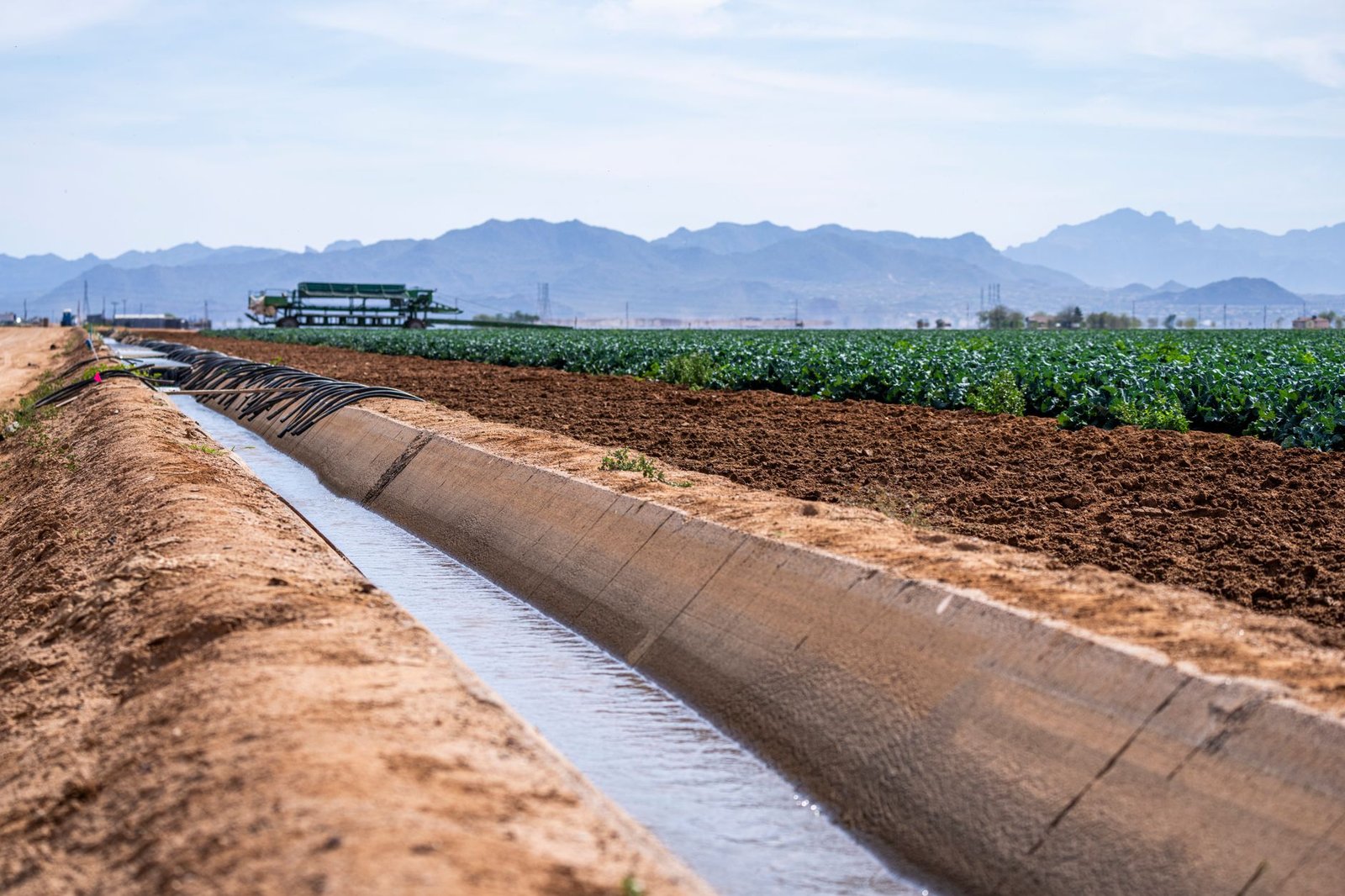
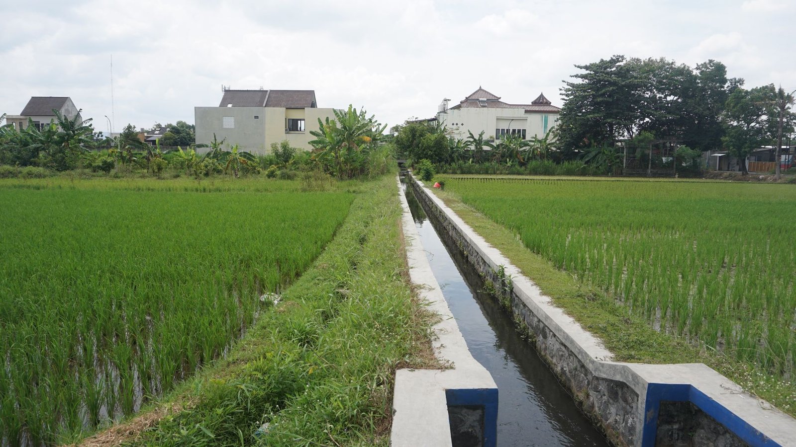
Because purchasing thousands of acres of productive prime agricultural land strictly for dedicated infiltration ponds is economically cost-prohibitive, irrigation districts have pioneered On-Farm Managed Aquifer Recharge (Ag-MAR). Under this operational model, participating farmers flood active dormant agricultural cropland—primarily vineyards, almond orchards, and alfalfa fields—with six to twelve inches of surplus surface water during winter months.
University agricultural extension scientists conduct rigorous soil oxygen and root physiology monitoring to ensure that winter flooding does not induce root rot, crown disease, or tree asphyxiation. Deep-rooting dormancy allows perennial crops like wine grapes and almonds to tolerate standing water for weeks without yield loss.
A paramount environmental concern in Ag-MAR is preventing the downward flushing of legacy agricultural nitrates and pesticide residues into shallow drinking water aquifers used by rural disadvantaged communities. State regulations mandate pre-recharge soil core testing; farmland with high residual nitrogen concentrations from heavy synthetic fertilizer applications is legally excluded from recharge programs.
Water Accounting, Groundwater Credits, and Inter-District Trading
The economic success of managed recharge is anchored in sophisticated digital groundwater accounting frameworks. When a private landowner diverts surface floodwater onto their fields for aquifer infiltration, magnetic flow meters and digital telemetry sensors record the precise gross diversion volume. Applying soil evaporation and transpirational loss formulas, groundwater sustainability agencies credit the farmer’s water account with verified ‘recharge credits.’
Landowners can bank these recharge credits in the aquifer for future dry years, allowing them to pump water during severe drought conditions without incurring punitive overdraft penalty fees, or sell surplus credits to neighboring municipal water utilities through regulated groundwater markets.
Water resources analysts emphasize that groundwater banking provides resilient water storage at less than one-tenth the capital cost and zero environmental footprint of constructing massive new surface concrete dams, establishing a sustainable water foundation for American agriculture.
Official Public Records and Statutory Citations
The documentary evidence and administrative filings referenced in this investigation are indexed under the following public record dockets:
- California Water Code, Division 6, Part 2.74 (Sustainable Groundwater Management Act).
- State Water Resources Control Board, Resolution No. 2019-0010 (General Water Rights Order for Temporary Flood Diversions).
- United States Geological Survey, Professional Paper 1766, Groundwater Availability of the Central Valley Aquifer.
- California Department of Water Resources, Best Management Practices for the Sustainable Management of Groundwater: Monitoring Protocols.
Independent Oversight Outlook
Managed Aquifer Recharge represents the indispensable physical bridge connecting atmospheric storm cycles with subterranean water resilience. Through expanded on-farm flooding and paleochannel infiltration across 2026 and 2027, western agricultural basins will stabilize their aquifers and secure the nation’s food production.
Spotted an error? Read our corrections policy and let us know.

Keep reading
Urban Stream Daylighting Projects Remove Concrete Culverts to Restore Natural Fluvial Geomorphology
FEMA Hazard Mitigation Assistance Buyouts Transform Repetitive Loss Floodplains into Natural Greenways
Vadose Zone Suction Lysimeters and Groundwater Protection Plans Enacted for Confined Animal Feeding Operations