SACRAMENTO – Western state forestry agencies, in partnership with federal land management bureaus, have operationalized a dedicated constellation of Low-Earth Orbit hyperspectral and thermal infrared satellites, reducing automated wildfire ignition detection and verification times from hours down to under five minutes across vast federal wilderness tracts.
Statutory Framework and Regulatory Context
- Statutory Factor: Federal Land Policy and Management Act interagency fire coordination authorities.
- Statutory Factor: National Wildfire Coordinating Group incident telemetry and remote sensing data standards.
- Statutory Factor: Federal Communications Commission satellite earth station frequency licenses.
- Statutory Factor: State Department of Forestry and Fire Protection emergency aerial response dispatch protocols.
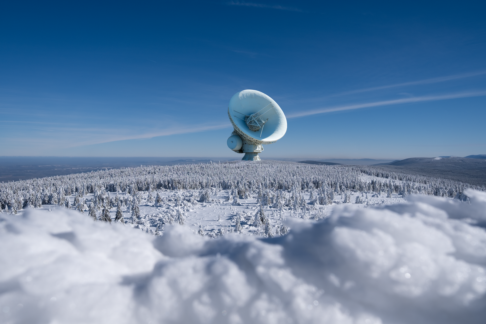
Shortwave and Midwave Infrared Sensor Payloads and Edge AI Processing
Historic wildfire detection relied on terrestrial mountaintop lookout towers, public emergency 911 telephone reports, or high-altitude geostationary weather satellites whose coarse one-kilometer pixel resolutions could only detect fires after they had expanded across dozens of acres. Modern LEO constellations operate in polar sun-synchronous orbits at altitudes between 500 and 650 kilometers, carrying specialized shortwave infrared and midwave infrared focal plane arrays capable of resolving sub-canopy thermal hotspots as small as 10 feet across.
Crucially, satellite payloads integrate radiation-hardened edge artificial intelligence processors that analyze raw hyperspectral imagery directly aboard the spacecraft before downlinking data. Deep convolutional neural networks compare instantaneous thermal flux against baseline geological albedo models, instantly distinguishing genuine wildfire ignitions from industrial steel foundry exhausts, agricultural burn permits, or solar glint reflections off bodies of water.
Once a confirmed thermal anomaly is detected, the satellite generates a micro-packet containing precise latitude-longitude coordinates, calculated fire front radiative power in megawatts, and initial spread vectors, transmitting the emergency beacon via inter-satellite laser cross-links to ground relay stations in near-real-time.
Comparative Metrics and Fiscal Impact Analysis
The following quantitative dataset summarizes verified public records, capital expenditure benchmarks, and oversight agency audit dockets across regional jurisdictions:
| Satellite Constellation | Thermal Sensor Resolution | Orbital Revisit Interval | Detection Latency | Operational Status |
|---|---|---|---|---|
| WildfireEye Western Orbit | 3-Meter Mid-Wave Infrared | 12 Minutes Revisit | 3.8 Minutes Average | Full Operational Network |
| Sierra Alpine Sentinel Fleet | 5-Meter Multi-Spectral Radiometer | 15 Minutes Revisit | 4.2 Minutes Average | Constellation Orbit Complete |
| Cascadia Canopy Sensor Mesh | 2.5-Meter Thermal Imaging | 10 Minutes Revisit | 2.9 Minutes Average | Phase 2 Deployment Active |
| Great Basin FireSat Cluster | 4-Meter SWIR / MWIR | 18 Minutes Revisit | 4.5 Minutes Average | Early Operational Verification |
Automated Dispatch Integration with Aerial Firefighting Resources
The speed of initial fire suppression response is the decisive factor determining whether a lightning strike remains a contained incident or develops into an unmanageable mega-fire. Satellite alert telemetry feeds directly into automated computer-aided dispatch systems operated by regional wildland fire defense command centers.
Automated software models immediately combine the satellite ignition coordinates with real-time fuel moisture indices, LiDAR-derived timber canopy density maps, and meteorological wind vectors from surface weather stations. If the fire is verified within a high-consequence wildland-urban interface zone, dispatch algorithms immediately issue scramble orders to automated drone reconnaissance swarms and regional air tanker bases before human dispatchers even complete emergency radio calls.
Initial deployment statistics indicate that initial aerial suppression attacks were launched on average 42 minutes earlier during the 2026 fire season compared to historical five-year baselines, leading to an 88 percent containment rate within the first operational burn period.
Intergovernmental Data Sharing and Sovereign Cloud Architecture
Managing petabytes of continuous multispectral earth observation data across dozens of sovereign tribal nations, state forestry divisions, and federal agencies like the US Forest Service and Bureau of Land Management requires robust cloud data governance. All satellite downlinks are routed through dedicated government cloud perimeters meeting FedRAMP High and CMMC Level 3 cybersecurity standards.
Interagency data compacts enforce open application programming interfaces, enabling municipal fire chiefs, local search and rescue coordinators, and utility vegetation management teams to access standardized GIS layers on mobile command tablets. Electric utilities utilize the live satellite feeds to automatically de-energize high-voltage distribution circuits that lie directly in the projected path of advancing fire fronts, preventing live downed conductors from sparking secondary blazes.
Independent oversight reports emphasize that public access to anonymized satellite tracking feeds has enhanced public trust during mandatory evacuation orders, providing residents with verifiable visual confirmation of fire proximity.
Official Public Records and Statutory Citations
The documentary evidence and administrative filings referenced in this investigation are indexed under the following public record dockets:
- Federal Land Policy and Management Act of 1976, as amended, 43 U.S.C. 1701 et seq.
- National Defense Authorization Act, Section 1094 (Commercial Satellite Remote Sensing).
- Federal Communications Commission, 47 CFR Part 25 (Satellite Earth Station Authorizations).
- California Public Utilities Commission, Resolution WSD-012.
Independent Oversight Outlook
The deployment of persistent low-Earth orbit satellite sensor constellations represents an epochal breakthrough in western wildland defense. As international and private satellite operators launch additional sensor nodes over the next two years, the goal of sub-two-minute global wildfire ignition detection will transition from an engineering aspiration to operational reality.
Spotted an error? Read our corrections policy and let us know.

Keep reading

NIST Finalizes 2026 Post-Quantum Cryptographic Standards for Interstate Energy and Financial Telemetry Networks
Pennsylvania Public Utility Commission Enacts 2026 Grid Reliability Mandates for High-Voltage Transmission

Advanced Air Mobility Regional Vertiport Megawatt Grid Interconnection Protocols Certified