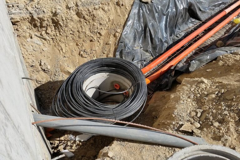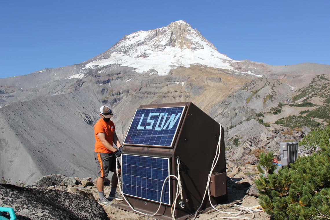
- Sensor Grid Expansion: Over 1,600 real-time seismic sensor stations now operational across Washington, Oregon, and Northern California, providing comprehensive coverage of the high-risk Cascadia Subduction Zone.
- Sub-4-Second Latency: Advanced edge-computing algorithms detect Primary (P) seismic waves, estimate earthquake magnitude, and transmit warning alerts to civic control centers before destructive Secondary (S) waves arrive.
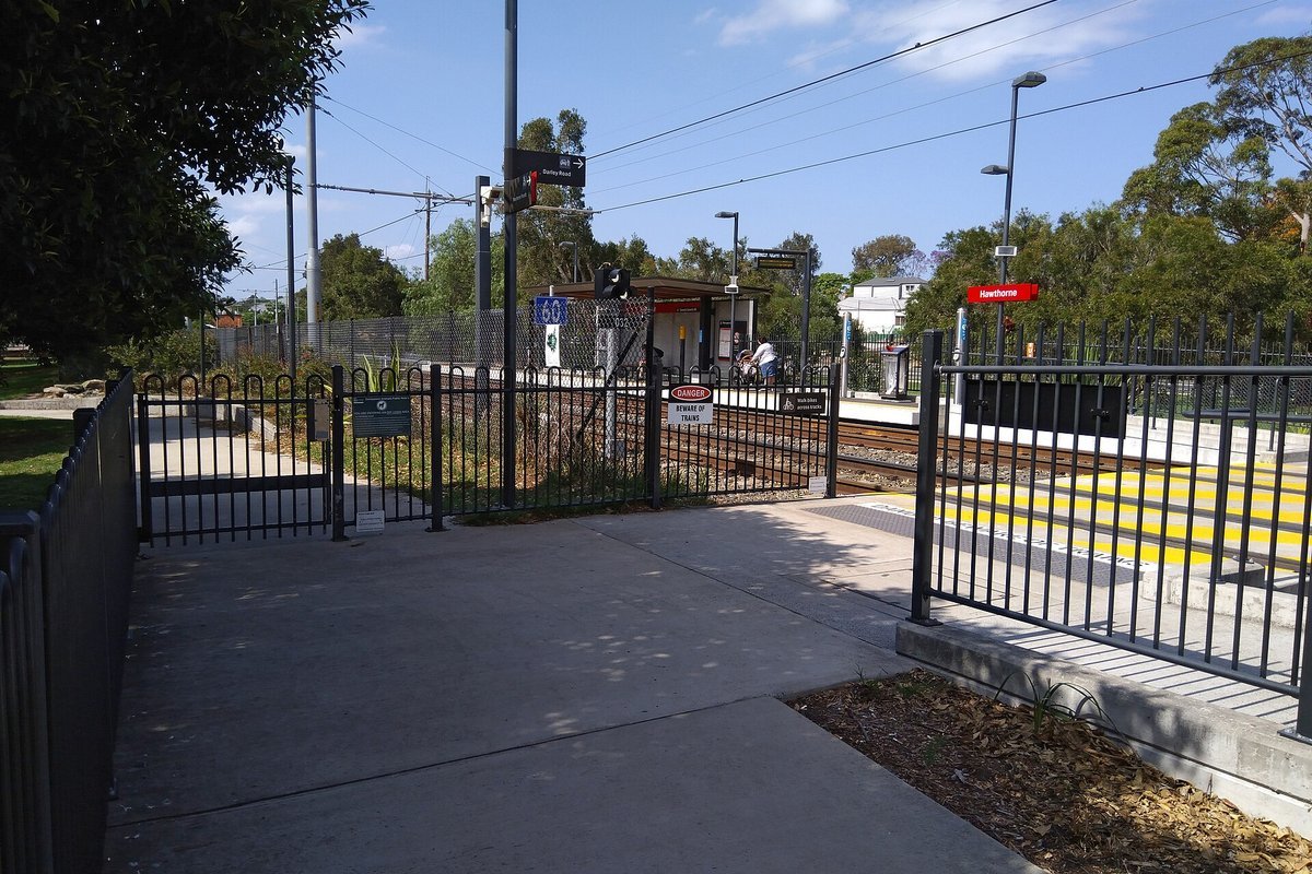
- Automated Civic Defenses: Automated integration slows passenger transit trains to halt derailments, opens municipal fire station apparatus bay doors, and locks emergency shutoff valves on municipal water mains.
SEATTLE, WA — In an engineering advancement designed to protect millions of residents and vital civic infrastructure from catastrophic megathrust earthquakes, the U.S. Geological Survey (USGS) and its university partners have completed the operational expansion of the ShakeAlert Earthquake Early Warning (EEW) network across the Pacific Northwest. Administered under the statutory authority of the Disaster Relief Act and the National Earthquake Hazards Reduction Program (NEHRP; 42 U.S.C. § 7701), the modernized sensor array provides vital seconds of automated warning across Washington, Oregon, and Northern California before severe ground shaking occurs.
The Pacific Northwest sits directly adjacent to the Cascadia Subduction Zone—a 600-mile undersea tectonic fault capable of generating a rupture of magnitude 9.0 or greater. Because geologic records demonstrate a recurrence interval averaging 300 to 500 years, with the last full-margin rupture documented in January 1700, the implementation of automated early warning systems represents the region’s most consequential technological defense against structural collapse and mass transit casualties.

The Physics of ShakeAlert: P-Wave Detection and Edge Telemetry
The ShakeAlert architecture exploits a fundamental principle of seismological wave mechanics. When a subterranean fault ruptures, it produces two distinct categories of seismic waves that propagate outward through the Earth’s crust:
- Primary (P) Waves: Compressional waves that travel rapidly (approximately 3.5 to 4.5 miles per second) through rock. P-waves generate low-amplitude ground acceleration that is generally imperceptible to human senses and causes negligible structural damage.
- Secondary (S) Waves and Surface Waves: Transverse shear waves that travel significantly slower (approximately 1.8 to 2.5 miles per second). S-waves and Rayleigh waves produce the intense horizontal and vertical ground displacement responsible for building collapse, bridge failure, and ground liquefaction.
By situating hundreds of high-precision triaxial accelerometers directly above tectonic fault lines, the ShakeAlert system detects the initial onset of P-waves within milliseconds. Central processing algorithms at USGS data hubs in Seattle and Menlo Park instantaneously calculate the earthquake’s hypocenter location, focal depth, and estimated moment magnitude, projecting the geographic footprint of destructive shaking and transmitting warnings ahead of the advancing S-wave front.
Automated Infrastructure Integrations and Warning Latencies
| Civic Infrastructure Sector | Automated Integration Trigger | Operational Safety Response | Expected Warning Window |
|---|---|---|---|
| Passenger & Freight Rail | MMI ≥ 4.0 ground motion alert | Automatic emergency brake application | 10 to 60 seconds prior to shaking |
| Municipal Fire Stations | Pre-programmed ShakeAlert relay | Bay doors automatically raised and locked | Prevents fire engines being trapped inside |
| Hospitals & Medical Centers | Surgical suite warning system | Emergency generators spun up; delicate surgery halted | Immediate protection of life-support systems |
| Potable Water Utilities | Seismic valve actuator trigger | Reservoir isolation valves closed automatically | Preserves municipal firefighting water reserves |
| K-12 School Classrooms | Automated public address chime | Automated “Drop, Cover, and Hold On” announcement | Allows students to take shelter under desks |
Mobile Alert Delivery and Public Protective Actions
For the general public, ShakeAlert telemetry is distributed via two primary digital channels: the Federal Emergency Management Agency’s (FEMA) Wireless Emergency Alerts (WEA) broadcast protocol and direct operating system integrations embedded in Android and Apple iOS smartphones. When projected ground motion exceeds Modified Mercalli Intensity IV (shaking noticeable indoors with rattling windows), mobile devices emit an unmistakable emergency auditory chime instructing users to immediately take protective action.
Emergency management experts emphasize that even five to ten seconds of advance notice provides sufficient time for individuals to execute the standard life-safety protocol: Drop, Cover, and Hold On. By shielding against falling ceiling tiles, shattered architectural glass, and unanchored furniture—the primary sources of non-fatal injuries during urban earthquakes—ShakeAlert serves as an essential digital shield for the Pacific Northwest.